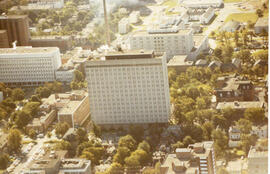
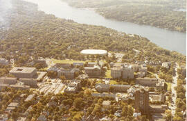
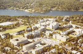
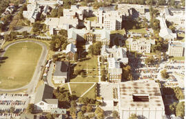
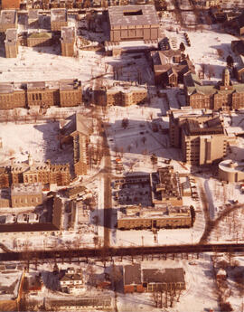
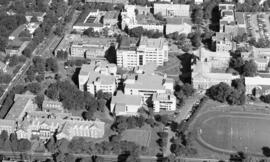
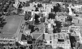
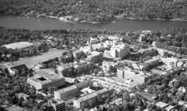
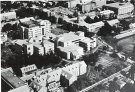
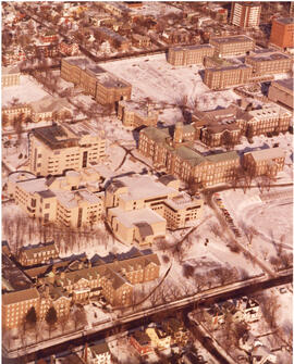
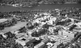
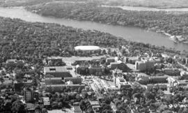
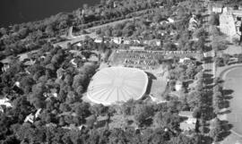
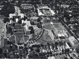
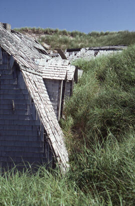
- PC1, Box 64, Folder 40
- File
- [ca. 1972]
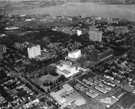
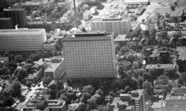
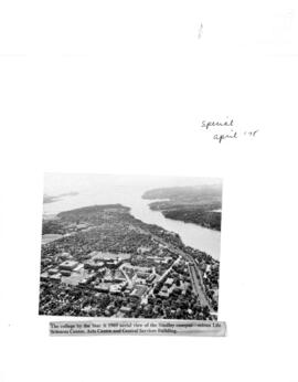
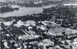
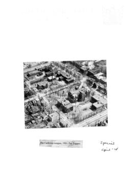
File is an aerial photograph of Halifax's IWK, Dalhousie University Carleton campus. Inscription on verso estimates date based on post-construction of IWK but pre-construction of the Rehabilitation Centre on the corner of Summer and University. Also pre-construction of the Nova Scotia Public Archives.
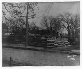
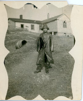
![Photograph of a building being demolished on [Sackville?] street near [South Park?] in Halifax No...](/uploads/r/dalhousie-university-archives/0/c/6/0c6743ef1eef8294274950e0954a93a75190f1d8ed3d8ed7747867de647c4e49/MS-4-180_17_51_002_142.jpg)
![Photograph of a building being demolished on [Sackville?] street near [South Park?] in Halifax No...](/uploads/r/dalhousie-university-archives/0/8/a/08a5ec2dd1852464266d10410b7fdacf0b39f4d491119feb73e4531ff6634c23/MS-4-180_17_51_003_142.jpg)
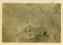
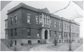
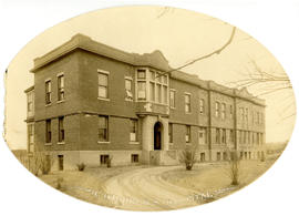
![Photograph of a building on [Sackville?] street near [South Park?] in Halifax Nova Scotia](/uploads/r/dalhousie-university-archives/8/b/2/8b2826d4b380acbe32535a41c37471c4a70f5ccc1aea9c862a8976e702c647a6/MS-4-180_17_51_001_142.jpg)
![Photograph of a building on [Sackville?] street near [South Park?] in Halifax Nova Scotia](/uploads/r/dalhousie-university-archives/d/f/6/df694106254845375302c664f13c7b7f26c4888415c8181a831c81868bc798fa/MS-4-180_17_51_004_142.jpg)
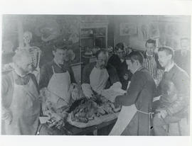
![Photograph of a buildings on [Sackville?] street near [South Park?] in Halifax Nova Scotia](/uploads/r/dalhousie-university-archives/5/9/9/599e65b76bed9c04d0e9cb189af0b7e9e17246537b77d84359d12ad62f7fb737/MS-4-180_17_51_007_142.jpg)
![Photograph of a buildings on [Sackville?] street near [South Park?] in Halifax Nova Scotia](/uploads/r/dalhousie-university-archives/5/0/3/503e3ffd15a974d57df807952732faedaca3a15ec7fbff1d1de719cfea107343/MS-4-180_17_51_006_142.jpg)
![Photograph of a buildings on [Sackville?] street near [South Park?] in Halifax Nova Scotia](/uploads/r/dalhousie-university-archives/0/3/b/03b3463044e17179b92acf540117e141cfb2aa5cbeb1b03317a392d3d1c4611a/MS-4-180_17_51_005_142.jpg)
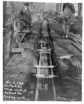
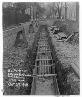
![Photograph of construction on [Sackville?] street near [South Park?] in Halifax Nova Scotia](/uploads/r/dalhousie-university-archives/7/5/4/75402fac6c57febba968991610eb46f5223d1e5cf0da6e1261d78c679ae19f89/MS-4-180_17_51_009_142.jpg)
![Photograph of construction on [Sackville?] street near [South Park?] in Halifax Nova Scotia](/uploads/r/dalhousie-university-archives/e/c/a/ecaa70cc2f4fb4f7ec733ed44b9d50831814d80a971a87fcc63eef25193ed849/MS-4-180_17_51_008_142.jpg)