- MS-2-789, Box 16, Folder 13, Item 51
- Item
- 2000
Part of Bill Freedman fonds
74 results directly related Exclude narrower terms
Part of Bill Freedman fonds

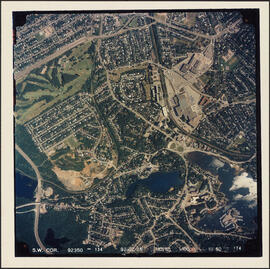
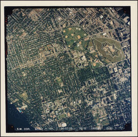
Aerial photograph of Clayton Park and Bayers Lake Industrial Park
Part of Bill Freedman fonds
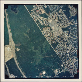
Aerial photograph of Clayton Park and Bayers Lake Industrial Park
Part of Bill Freedman fonds
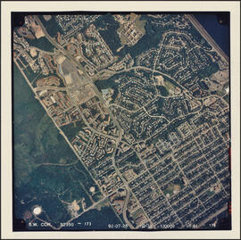
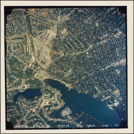
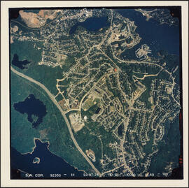
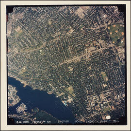
Aerial photograph of Clayton Park and Fairview
Part of Bill Freedman fonds
Aerial photograph of Clayton Park, Beechwood Park, and Fairview
Part of Bill Freedman fonds
Aerial photograph of communities surrounding the Armdale traffic circle
Part of Bill Freedman fonds
Aerial photograph of communities surrounding the Armdale traffic circle
Part of Bill Freedman fonds
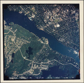
Aerial photograph of Cowie Hill
Part of Bill Freedman fonds
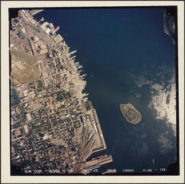
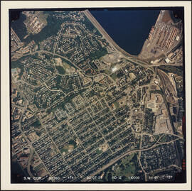
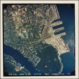
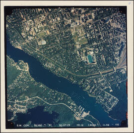
Aerial photograph of downtown Halifax and Halifax Harbour
Part of Bill Freedman fonds
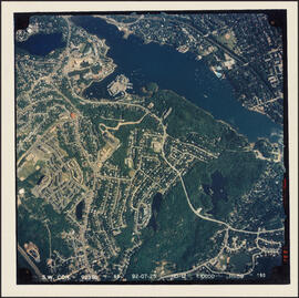
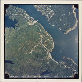
Aerial photograph of Melville Cove and Cowie Hill
Part of Bill Freedman fonds
Aerial photograph of Point Pleasant Park and the Northwest Arm
Part of Bill Freedman fonds
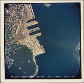
Aerial photograph of Point Pleasant Park and the South End Container Terminal
Part of Bill Freedman fonds
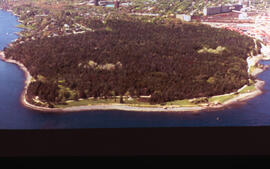
Aerial photograph of Point Pleasant Park, Halifax, Nova Scotia
Part of Bill Freedman fonds
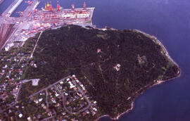
Aerial photograph of Point Pleasant Park, Halifax, Nova Scotia
Part of Bill Freedman fonds
Part of Bill Freedman fonds
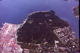
Aerial photograph of the container pier and Point Pleasant Park, Halifax, Nova Scotia
Part of Bill Freedman fonds
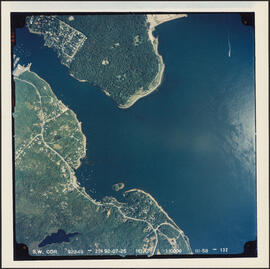
Aerial photograph of the Halifax Harbour approaches south of Point Pleasant Park
Part of Bill Freedman fonds
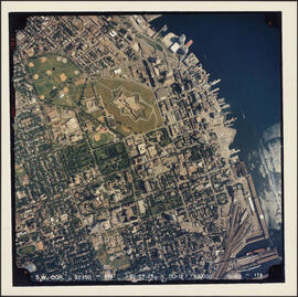
Aerial photograph of the Halifax peninsula
Part of Bill Freedman fonds
Aerial photograph of the Halifax peninsula
Part of Bill Freedman fonds
Aerial photograph of the Halifax peninsula
Part of Bill Freedman fonds
Aerial photograph of the Northwest Arm and Sir Sandford Fleming Park
Part of Bill Freedman fonds
Part of Bill Freedman fonds
Carlos
Photograph of a proof commissioned by Dalhousie University
Photograph of a proof commissioned by Dalhousie University
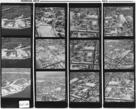
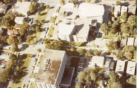
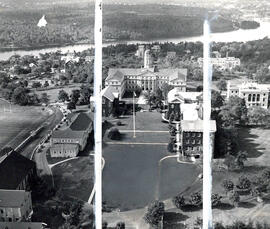
Photograph of an aerial view of Dalhousie Universities Carleton campus
Photograph of an aerial view of Dalhousie Universities Carleton campus
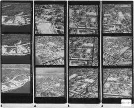
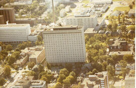
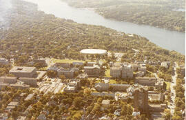
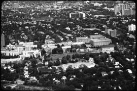
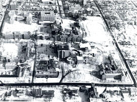
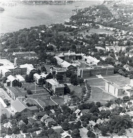
Photograph of an aerial view of Dalhousie Universities Studley campus
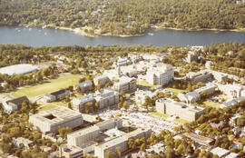
Photograph of an aerial view of Dalhousie Universities Studley campus
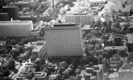
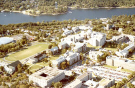
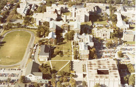
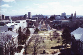
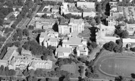
Photograph of an aerial view of Dalhousie Universities Studley campus
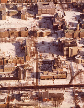
Photograph of an aerial view of Dalhousie Universities Studley campus
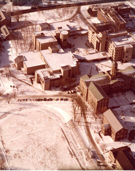
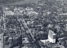
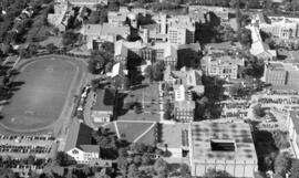
Photograph of an aerial view of Dalhousie Universities Studley campus
Photograph of an aerial view of Dalhousie Universities Studley campus
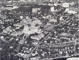
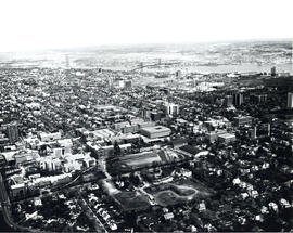
Photograph of an aerial view of Dalhousie Universities Studley campus
Photograph of an aerial view of Dalhousie Universities Studley campus
Photograph of an aerial view of Dalhousie Universities Studley campus
Photograph of an aerial view of Dalhousie Universities Studley campus
Wamboldt-Waterfield Photography Limited
Photograph of an aerial view of Dalhousie Universities Studley campus
Photograph of an aerial view of Dalhousie Universities Studley campus
Photograph of an aerial view of Dalhousie Universities Studley campus
Photograph of an aerial view of Dalhousie Universities Studley campus
Photograph of an aerial view of Dalhousie Universities Studley campus
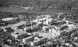
Photograph of an aerial view of Dalhousie Universities Studley campus
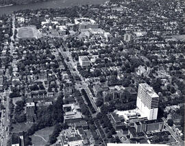
Photograph of an aerial view of Dalhousie Universities Studley campus
Wamboldt-Waterfield Photography Limited
Photograph of an aerial view of Dalhousie Universities Studley campus
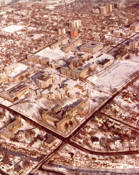
Photograph of an aerial view of Dalhousie Universities Studley campus
Photograph of an aerial view of Dalhousie Universities Studley campus
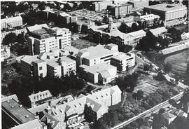
Photograph of an aerial view of Dalhousie Universities Studley campus
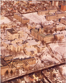
Photograph of an aerial view of Dalhousie Universities Studley campus
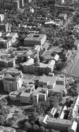
Photograph of an aerial view of Dalhousie Universities Studley campus