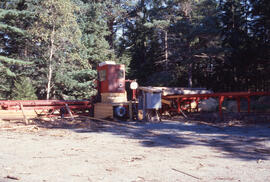
Fonds contains material relating to the personal life and professional career of Bill Freedman (1950-2015), an environmental scientist based at Dalhousie University. Fonds includes research data, teaching materials, publications, manuscripts and draft manuscripts, correspondence, committee and meeting minutes, electronic records, analogue and digital photographs, thousands of 35 mm slides, video cassettes, and appointments and awards.
File contains the draft manuscript report written by Freedman and C. Stewart, for the Canadian Wildlife Service via the Institute for Resource and Environmental Studies and the Department of Biology, Dalhousie.
File contains 42 photographs largely taken by Bill Freedman between 1986 and 1998. Photographs show family outings in Halifax (including the Public Gardens) in 1986, and with family at home during the winter holidays in late-1998 and early-1999.
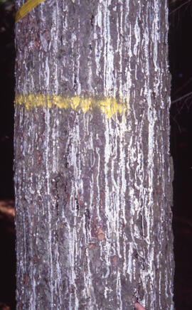
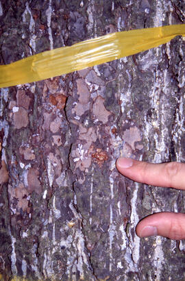
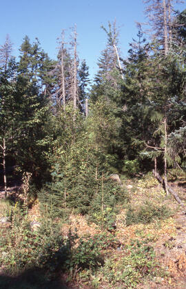
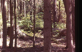
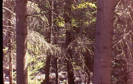
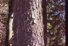
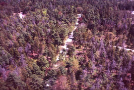
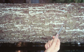
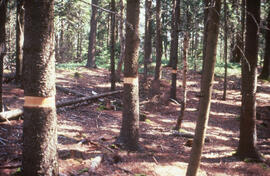
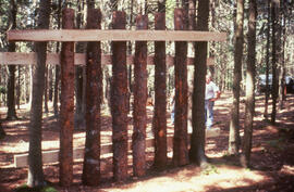
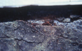
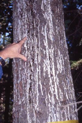
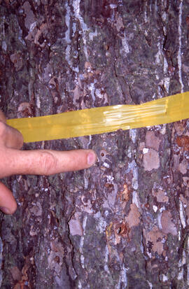
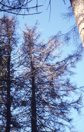
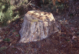
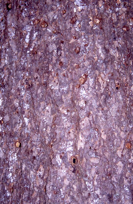
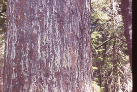
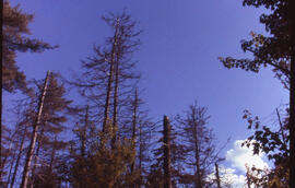
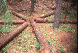
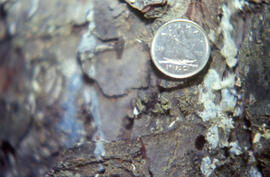
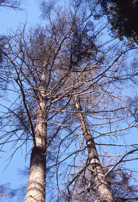
File contains 68 photographs taken largely by Bill Freedman (but also by Sweeney) at Point Pleasant Park, Halifax, Nova Scotia, in 2000. Photographs show aerial and up-close examples of the destruction wrought on the urban park by the invasive Brown spruce longhorn beetle, believed to arrive in the city via the nearby port.
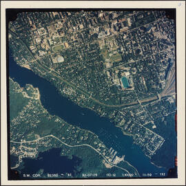
Item is an aerial photograph of the Northwest Arm in Halifax, Nova Scotia taken on July 25, 1992. The photograph shows the campuses of Dalhousie University and Saint Mary's University.
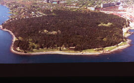
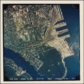
Item is an aerial photograph of Point Pleasant Park and the south end of Halifax, Nova Scotia taken on July 25, 1992. The photograph shows the campus of Saint Mary's University and the South End Container Terminal.
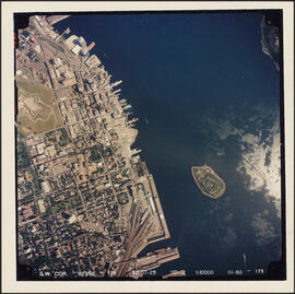
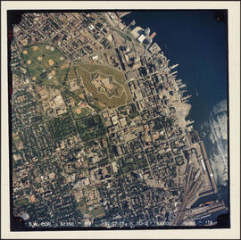
Item is an aerial photograph of the Halifax peninsula taken on July 25, 1992. The photograph shows downtown Halifax, the Halifax Container Piers, Halifax Harbour, and Georges Island.
File contains 116 photographs taken by Bill Freedman in Halifax, Toronto, and Vancouver between 1973 and 2002 (though predominantly between 1999 and 2002). Photographs show urban streetscapes and buildings in Toronto, Stanley Park in Vancouver, the Public Gardens and Busker festival in Halifax, as well as Mahone Bay and Peggy's Cove, Nova Scotia.
File contains correspondence to Freedman regarding his re-appointment as the Chair Biology at Dalhousie University, effective July 1, 2004 through June 30, 2007.
File contains manuscripts, correspondence, reviewer comments and research data relating to the article Tree Species Composition, Structure, and Carbon Storage in Stands of Urban Forest of Varying Character is Halifax, Nova Scotia.
File contains the manuscript of an article written by Freedman and J.M. Dale for the Proceedings of the Nova Scotia Institute of Science, volume 32. File also includes two hand-drawn charts and correspondence.
Item is an aerial photograph of the Halifax peninsula taken on July 25, 1992. The photograph shows downtown Halifax, the Halifax Common, the Halifax Citadel, and the Container Pier. The campus of Saint Mary's University is featured in the southern side of the photograph.
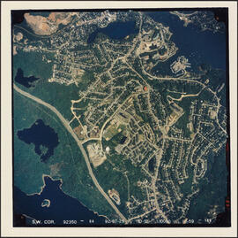
Item is an aerial photograph of the Clayton Park area of Halifax, on July 25, 1992. The photograph shows a largely undeveloped area of Clayton Park north of the Mainland Linear Trail, the 102 highway, and initial construction in the Bayers Lake Industrial Park area.