Advanced problems in business law / T.A. Kelly : [manuscript]
- MS-2-639, SF Box 97, Folder 5
- File
- [1945?] - [1971?]
Part of John Willis fonds
9331 results with digital objects Show results with digital objects
Advanced problems in business law / T.A. Kelly : [manuscript]
Part of John Willis fonds
Part of Sylvia Hamilton fonds
Part of Leslie E. Haley fonds
Advertisement mock-ups for Wayves Magazine
Part of Ross Boutilier fonds
Advertising leaflets for Ronald St. John Macdonald's published work
Part of Ronald St. John Macdonald fonds
Advisory Committee on the Chair of the Department of English documents
Part of Robert Doyle fonds
Advisory council on status of women and sexual harassment by doctors
Part of CKDU Radio fonds
Advocacy for transgender Nova Scotians
Part of Bob Fougere fonds
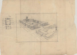
Aerial perspective drawing of a medical school campus
Part of Facilities Management
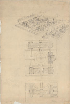
Aerial perspective drawing of a medical school campus
Part of Facilities Management
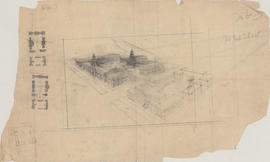
Aerial perspective drawing of a proposed campus for Dalhousie Medical School
Part of Facilities Management
Aerial perspective drawing of Studley campus including potential King's College buildings
Part of Facilities Management
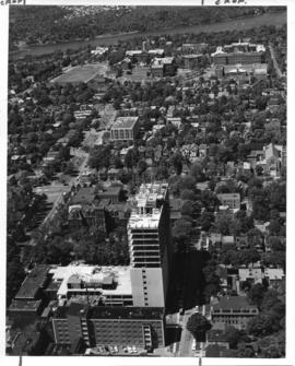
Aerial photograph from the Sir Charles Tupper Medical Building construction
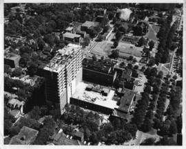
Aerial photograph from the Sir Charles Tupper Medical Building construction
Part of Bill Freedman fonds
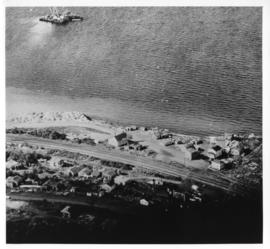
Aerial photograph of Africville

Aerial photograph of Arthur Stanley MacKenzie's funeral procession
Part of Arthur Stanley Mackenzie fonds
Aerial photograph of Arthur Stanley MacKenzie's funeral procession
Part of Arthur Stanley Mackenzie fonds
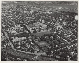
Aerial photograph of Carleton Campus at Dalhousie University
Lockwood Survey Corporation (Montreal)
Aerial photograph of Carleton Campus at Dalhousie University
Lockwood Survey Corporation (Montreal)

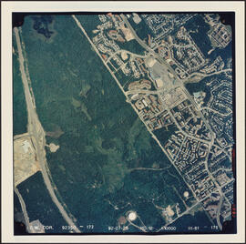
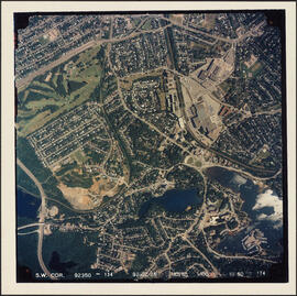
Aerial photograph of Clayton Park and Bayers Lake Industrial Park
Part of Bill Freedman fonds
Aerial photograph of Clayton Park and Bayers Lake Industrial Park
Part of Bill Freedman fonds
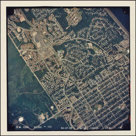
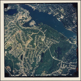
Aerial photograph of Clayton Park and Fairview
Part of Bill Freedman fonds
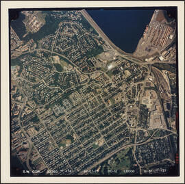
Aerial photograph of Clayton Park, Beechwood Park, and Fairview
Part of Bill Freedman fonds
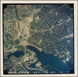
Aerial photograph of communities surrounding the Armdale traffic circle
Part of Bill Freedman fonds
Aerial photograph of communities surrounding the Armdale traffic circle
Part of Bill Freedman fonds
Aerial photograph of Cowie Hill
Part of Bill Freedman fonds
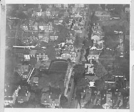
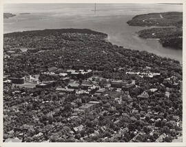
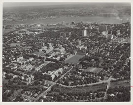
Aerial photograph of Dalhousie and Halifax
Aerial photograph of Dalhousie and Halifax
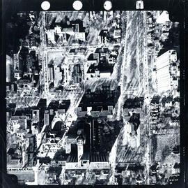
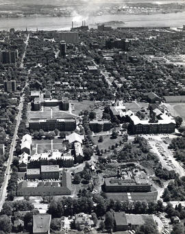
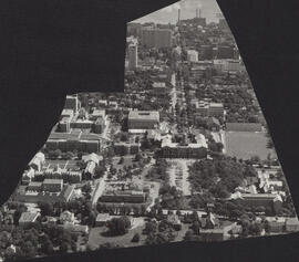
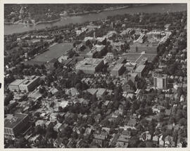
Aerial photograph of Dalhousie University
Field, D. B.
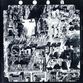
Aerial photograph of Dalhousie University
Wamboldt-Waterfield Photography Limited
Aerial photograph of Dalhousie University
Wamboldt-Waterfield Photography Limited

Aerial photograph of Dalhousie University
Wamboldt-Waterfield Photography Limited
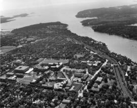
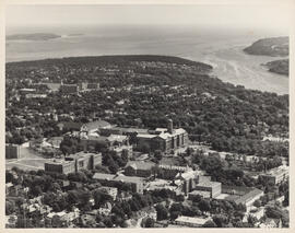
Aerial photograph of Dalhousie University and Halifax
Wamboldt-Waterfield Photography Limited
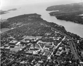
Aerial photograph of Dalhousie University and Halifax
Wamboldt-Waterfield Photography Limited
Aerial photograph of Dalhousie University and Halifax
Wamboldt-Waterfield Photography Limited
Aerial photograph of Dalhousie University and Halifax
Wamboldt-Waterfield Photography Limited
Aerial photograph of Dalhousie University and Halifax
Wamboldt-Waterfield Photography Limited
Aerial photograph of Dalhousie University and Halifax
Wamboldt-Waterfield Photography Limited
Aerial photograph of Dalhousie University and Halifax
Wamboldt-Waterfield Photography Limited
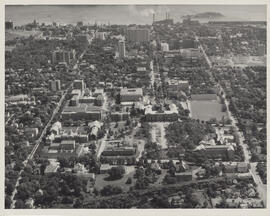
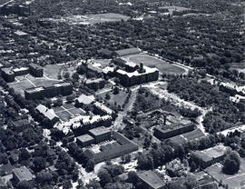
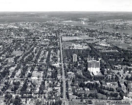
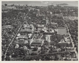
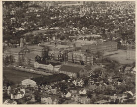
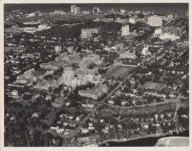
Aerial photograph of Dalhousie University Campus
Field, D. B.
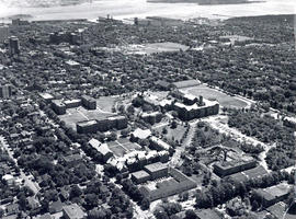
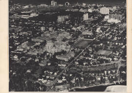
Aerial photograph of Dalhousie University Campus
Aerial photograph of Dalhousie University Campus
Field, D. B.
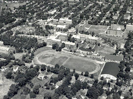
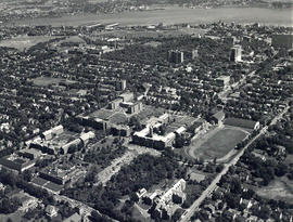
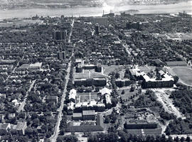
Aerial photograph of Dalhousie University campus
Field, D. B.
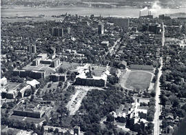
Aerial photograph of Dalhousie University Campus
Field, D. B.
Aerial photograph of Dalhousie University Campus
Aerial photograph of Dalhousie University Campus
Field, D. B.
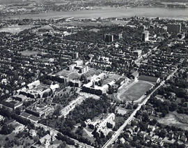
Aerial photograph of Dalhousie University Campus
Field, D. B.
Aerial photograph of Dalhousie University Campus
Field, D. B.
Aerial photograph of Dalhousie University Campus
Field, D. B.