- MS-13-86, Box 102, Folder 1, Items 1-51
- File
- 1961 - 1963
File contains photographic slides of people, buildings, and scenes in the city of Abeokuta.
1165 results with digital objects Show results with digital objects
Cornell-Aro planning and reception for Lambo
Photographs of the flora, fauna, and buildings on Sable Island, Nova Scotia
Part of Bill Freedman fonds
Part of Bill Freedman fonds
Photographs of Gaff Point, Lunenburg County, Nova Scotia
Part of Bill Freedman fonds
Part of Bill Freedman fonds
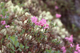
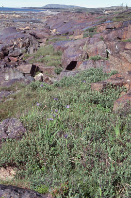
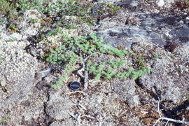
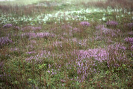
Photograph of Bog laurel (Kalmia polifolia) near Postville, Newfoundland and Labrador
Part of Bill Freedman fonds
Part of Bill Freedman fonds
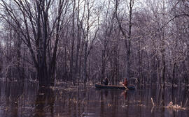
Photograph of two unidentified people in a canoe in an unidentified swamp
Part of Bill Freedman fonds
Part of Bill Freedman fonds
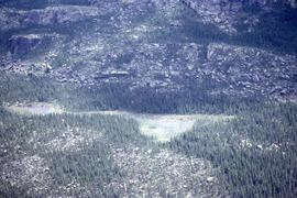
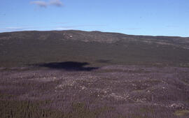
Aerial photograph of a patterned rocky fen near Postville, Newfoundland and Labrador
Part of Bill Freedman fonds
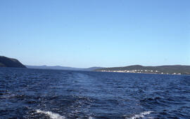
Photograph showing Postville, Newfoundland and Labrador from the middle of Kaipokok Bay
Part of Bill Freedman fonds
Part of Bill Freedman fonds
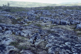
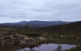
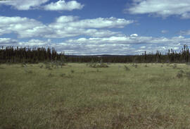
Photograph of barrens at 500-foot elevation near Michelin Lake, Newfoundland and Labrador
Part of Bill Freedman fonds
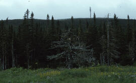
Photograph of Krummholz Zone tundra near Postville, Newfoundland and Labrador
Part of Bill Freedman fonds
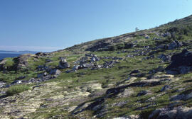
Photograph of altitudinal coastal tundra near Postville, Newfoundland and Labrador
Part of Bill Freedman fonds
Part of Bill Freedman fonds
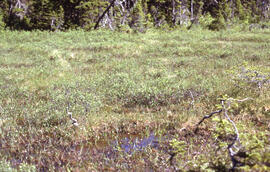
Photograph of a rich fen near Postville, Newfoundland and Labrador
Part of Bill Freedman fonds
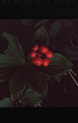
Photograph of Bunchberry (Cornus canadensis) in Terra Nova National Park
Part of Bill Freedman fonds
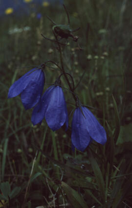
Photograph of harebell (Campanula rotundifolia) in Terra Nova National Park
Part of Bill Freedman fonds

Photograph of Field milk thistle (Sonchus arvensis) in Terra Nova National Park
Part of Bill Freedman fonds
Part of Bill Freedman fonds
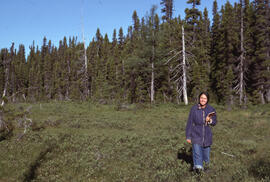
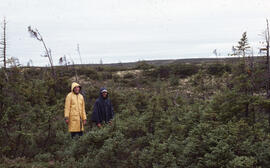
Photograph of an unidentified person standing in a fen near Postville, Newfoundland and Labrador
Part of Bill Freedman fonds
Part of Bill Freedman fonds
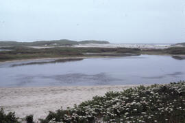
Photograph of a brackish pond located near Lifesaving Station Number 3 on Sable Island
Part of Bill Freedman fonds
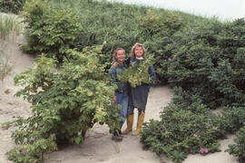
Photograph of Noreen Stadey and Zoe Lucas standing in the "Rose Bowl"
Part of Bill Freedman fonds
Photograph of a heath of Calluna vulgaris on Sable Island
Part of Bill Freedman fonds
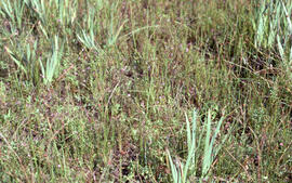
Photograph of mixed grasses on Sable Island
Part of Bill Freedman fonds
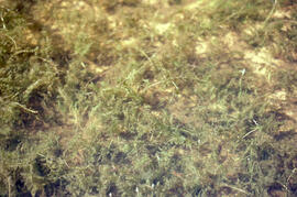
Photograph of unidentified vegetation on Sable Island
Part of Bill Freedman fonds
Photograph of unidentified vegetation on Sable Island
Part of Bill Freedman fonds
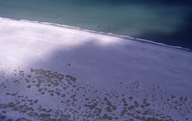
Aerial photograph of sparsely vegetated area of Sable Island
Part of Bill Freedman fonds
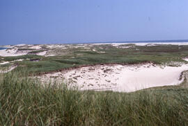
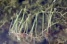
Photograph of sparse Ammophila (marram grass) on Sable Island
Part of Bill Freedman fonds
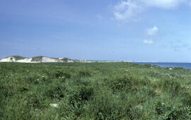
Photograph of a range of rich mixed Ammophila on Sable Island
Part of Bill Freedman fonds