Print preview Close
Showing 989 results
Archival Description973 results with digital objects Show results with digital objects
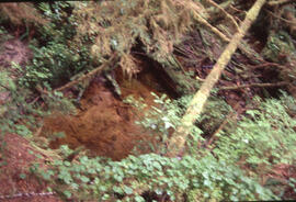
Photograph of vegetation regrowth at a 50-year-old roast bed site, near Sudbury, Ontario
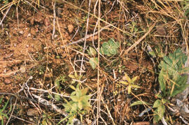
Photograph of vegetation regeneration one year after glyphosate spray, Plot 4 wetland area, Riverside site, central Nova Scotia
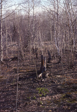
Photograph of vegetation regeneration in the second post-spray year at the Antrim site, Halifax County, Nova Scotia
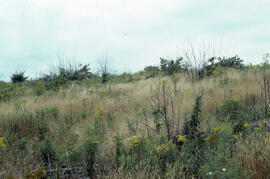
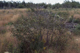
Photograph of vegetation regeneration in the first year after spraying at Plot 9, the Antrim site, Halifax County, Nova Scotia
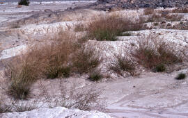
Photograph of vegetation recovery at the Salix (willow) hill spill site after one month, near Tuktoyaktuk, Northwest Territories
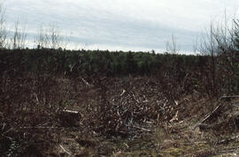
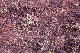
Photograph of vegetation competition regrowth after spraying, central Nova Scotia
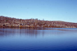
Photograph of vegetation at Richard Lake, 12 kilometres from the Inco superstack at Copper Cliff, near Sudbury, Ontario
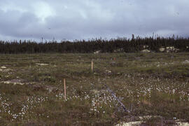
Photograph of upland tundra near Voisey's Bay, Newfoundland and Labrador
Photograph of upland tundra near Voisey's Bay, Newfoundland and Labrador
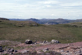
Photograph of upland tundra area overlooking Voisey's Bay, Newfoundland and Labrador
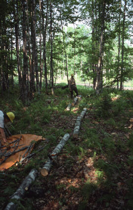
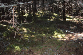
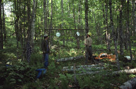
Photograph of unidentified researchers walking in Site 6, a thirty-year-old stand at an unidentified Nova Scotian location
Photograph of unidentified researchers standing at the base of slag heaps at the Coniston site, near Sudbury, Ontario
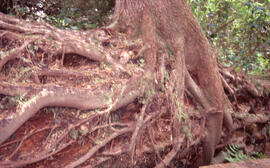
Photograph of unidentified researchers bucking sugar maple (Acer saccharum) and sorting branches at an unidentified central Nova Scotian site
Photograph of understory (with size reference) along the Gaff Point trail, near Kingsburg, Nova Scotia
Photograph of understory (with size reference) along the Gaff Point trail, near Kingsburg, Nova Scotia
Photograph of understory (with size reference) along the Gaff Point trail, near Kingsburg, Nova Scotia
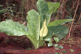
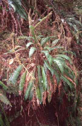
Photograph of understory in the Acadian forest of the Tobeatic Wilderness Area, southwestern Nova Scotia
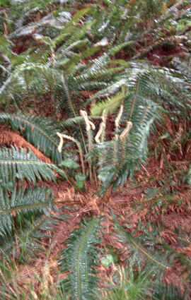
Photograph of understory in the Acadian forest of the Tobeatic Wilderness Area, southwestern Nova Scotia

Photograph of understory in the Acadian forest of the Tobeatic Wilderness Area, southwestern Nova Scotia
Photograph of understory in the Acadian forest of the Tobeatic Wilderness Area, southwestern Nova Scotia
Photograph of understory in the Acadian forest of the Tobeatic Wilderness Area, southwestern Nova Scotia
Photograph of understory in the Acadian forest of the Tobeatic Wilderness Area, southwestern Nova Scotia
Photograph of understory in the Acadian forest of the Tobeatic Wilderness Area, southwestern Nova Scotia
Photograph of understory in the Acadian forest of the Tobeatic Wilderness Area, southwestern Nova Scotia
Photograph of understory along the Gaff Point trail, near Kingsburg, Nova Scotia
Photograph of understory along the Gaff Point trail, near Kingsburg, Nova Scotia
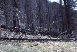
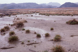
Photograph of two-year-old burn of a mature forest in Banff National Park
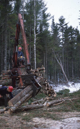
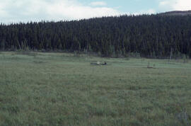
Photograph of two unidentified workers operating log loader machinery at Aylesford Lake, Kings County, Nova Scotia
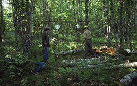
Photograph of two unidentified researchers weighing felled bolts of sugar maple (Acer saccharum) at an unidentified central Nova Scotian site
Photograph of two unidentified researchers weighing felled bolts of sugar maple (Acer saccharum) at an unidentified central Nova Scotian site
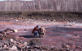
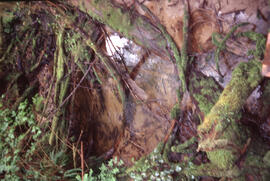
Photograph of two unidentified researchers examining a roast bed at the Falconbridge site, near Sudbury, Ontario
Photograph of two unidentified people standing on rocks on the Atlantic coast
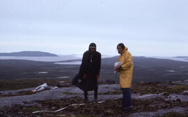
Photograph of two unidentified people standing on barren areas around 1500 feet elevation, near Postville, Newfoundland and Labrador
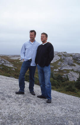
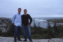
Photograph of two unidentified people standing on a rocky South Shore headland
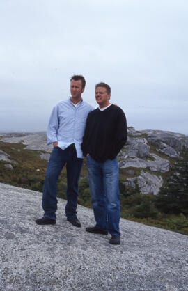
Photograph of two unidentified people standing on a rocky South Shore headland
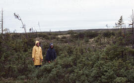
Photograph of two unidentified people standing in a sparse Krummholz Zone area, Postville, Newfoundland and Labrador
Photograph of two unidentified people seated in fenland with a dense forest background near Voisey's Bay, Newfoundland and Labrador
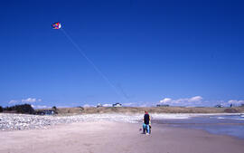
Photograph of two unidentified people flying a kite at Hirtle's Beach, near Kingsburg, Nova Scotia
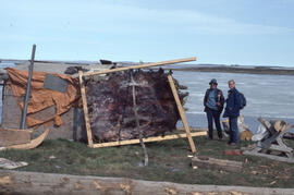
Photograph of two unidentified people drying and stretching grizzly bear skin near Tuktoyaktuk, Northwest Territories
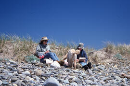
Photograph of two unidentified people and a dog picnicking on the Gaff Point trail, near Kingsburg, Nova Scotia
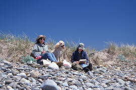
Photograph of two unidentified people and a dog on the Gaff Point trail, near Kingsburg, Nova Scotia
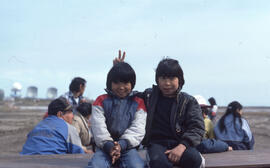
Photograph of two unidentified Inuvialuit children near Tuktoyaktuk, Northwest Territories
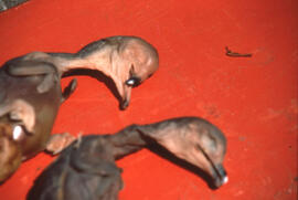
Photograph of two Double-crested cormorant embryos from addled eggs at Lake Winnipegosis, western Manitoba
Photograph of Tussock cottonsedge (Eriophorum vaginatum var. spissum) in a bog near Postville, Newfoundland and Labrador
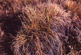
Photograph of Tussock cottonsedge (Eriophorum vaginatum) in hummock habitat, near Tuktoyaktuk, Northwest Territories
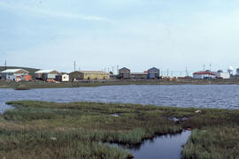
Photograph of Tuktoyaktuk, Northwest Territories
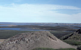
Photograph of Tuktoyaktuk from the top of Split Pingo
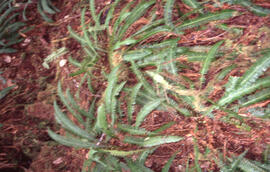
Photograph of tufted hair grass (Deschampsia caespitosa) at the Coniston site, near Sudbury, Ontario
Photograph of tufted hair grass (Deschampsia caespitosa) at Coniston site, near Sudbury, Ontario
Photograph of tufted hair grass (Deschampsia caespitosa) and creeping bent grass (Agrostis stolonifera) at the Coniston site, near Sudbury, Ontario
Results 51 to 100 of 989