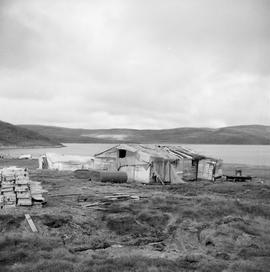
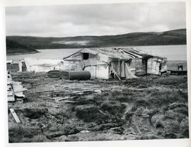
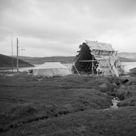
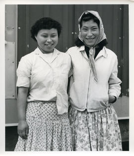
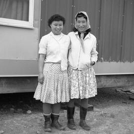
File contains negatives of photographs taken during a trip taken by Barbara Hinds to northern Quebec in September of 1965. The photographs were taken in Fort Chimo, Povungnituk, Sugluk, and Wakeham Bay. Most of the photographs are of people from these towns. The photographs also show churches, houses, other buildings, construction sites, cars, and boats.
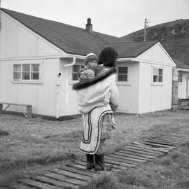
Item is a photograph of an unidentified woman carrying a baby in the back of her traditional fishtail parka. The photograph was taken in Sugluk, Quebec.
File contains prints and proofs of photographs taken during a trip to northern Quebec taken by Barbara Hinds in 1965. The photographs were taken in Fort Chimo, Wakeham Bay, Sugluk, and Povungnituk. The photographs include portraits, people at work, children playing, buildings, and scenery.
File contains 11 proof sheets of 116 photographs taken during a trip to northern Quebec taken by Barbara Hinds in 1965. The photographs were taken in Fort Chimo, Povungnituk, Sugluk, and Wakeham Bay. Most of the photographs are of residents of those towns. The photographs also show houses, churches, other buildings, construction sites, boats, and cars. Each proof sheet has a sheet of paper attached to it with descriptions of each photograph.